17 December، 2025
The College of Environmental Sciences Holds a Training Course on the Integration of Remote Sensing and Geographic Information Systems (GIS) in Hydrological Studies

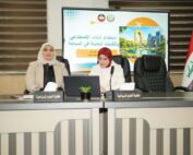
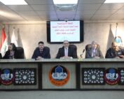
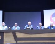
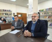
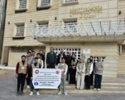
The College of Environmental Sciences at the University of Mosul organized a training course titled “Integration of Remote Sensing with Geographic Information Systems (GIS) in Hydrological Studies,” which will continue until December 18, 2025. The course aims to enhance the systematic integration between remote sensing techniques and GIS, building both scientific and practical capacities for participants in analyzing spatial and temporal data related to water resources.
The course covered the use of the Google Earth Engine platform in hydrological studies. The first lecture introduced the platform, its registration process, and how to work with it, providing an overview of key hydrological indices such as NDVI and NDWI and methods for calculating them. The second lecture focused on extracting and analyzing spectral indices to monitor environmental changes, in line with the requirements of sustainable development and modern environmental planning.