4 January، 2026
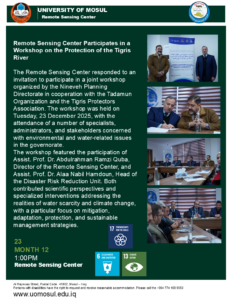
Remote Sensing Center Participates in a Workshop on the Protection of the Tigris River

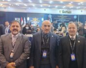
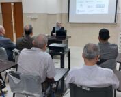
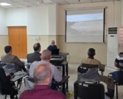
The Remote Sensing Center responded to an invitation to participate in a joint workshop organized by the Nineveh Planning Directorate in cooperation with the Tadamun Organization and the Tigris Protectors Association. The workshop was held on Tuesday, 23 December 2025, with the attendance of a number of specialists, administrators, and stakeholders concerned with environmental and water-related issues in the governorate.
The workshop featured the participation of Assist. Prof. Dr. Abdulrahman Ramzi Quba, Director of the Remote Sensing Center, and Assist. Prof. Dr. Alaa Nabil Hamdoun, Head of the Disaster Risk Reduction Unit. Both contributed scientific perspectives and specialized interventions addressing the realities of water scarcity and climate change, with a particular focus on mitigation, adaptation, protection, and sustainable management strategies.
The presentations highlighted the role of geospatial technologies and remote sensing in monitoring environmental changes, drought, and desertification, as well as the importance of integrated environmental planning in safeguarding water resources. In addition, the workshop put forward practical recommendations to strengthen cooperation between academic institutions, governmental bodies, and civil society organizations, thereby contributing to the achievement of sustainability for future generations.