20 September، 2026
Remote Sensing Center Holds a Scientific Workshop on the Global Perspective of Natural Disasters
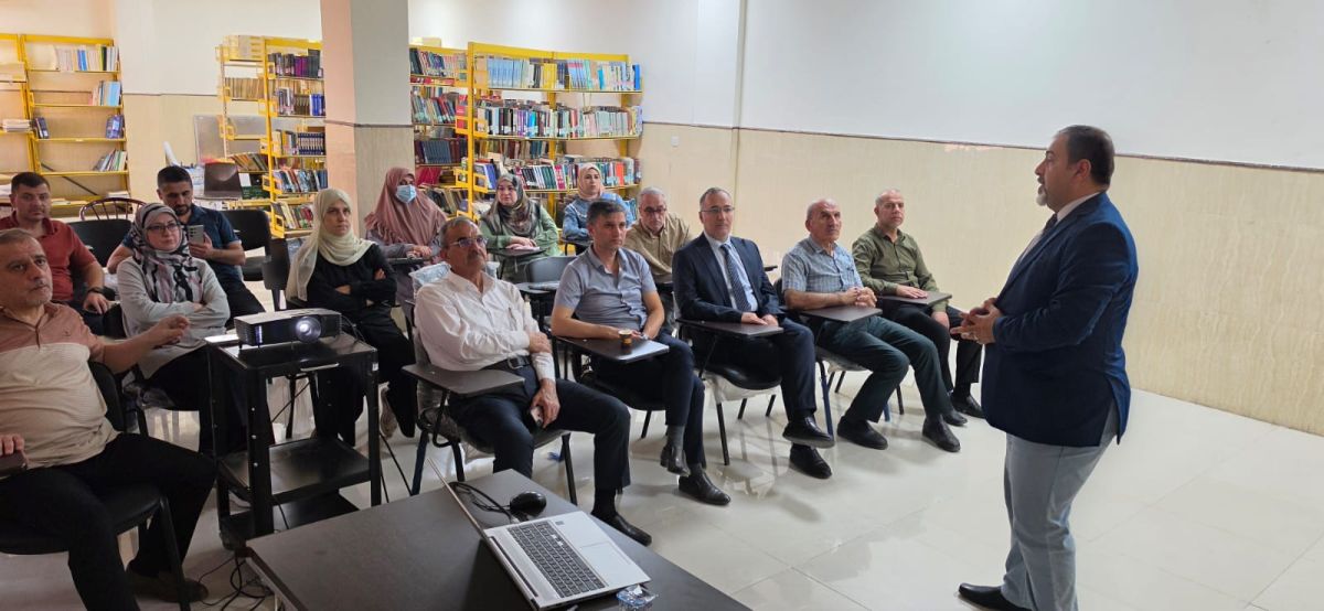
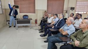
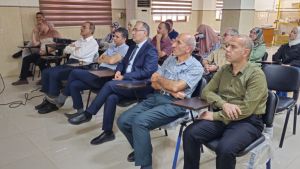
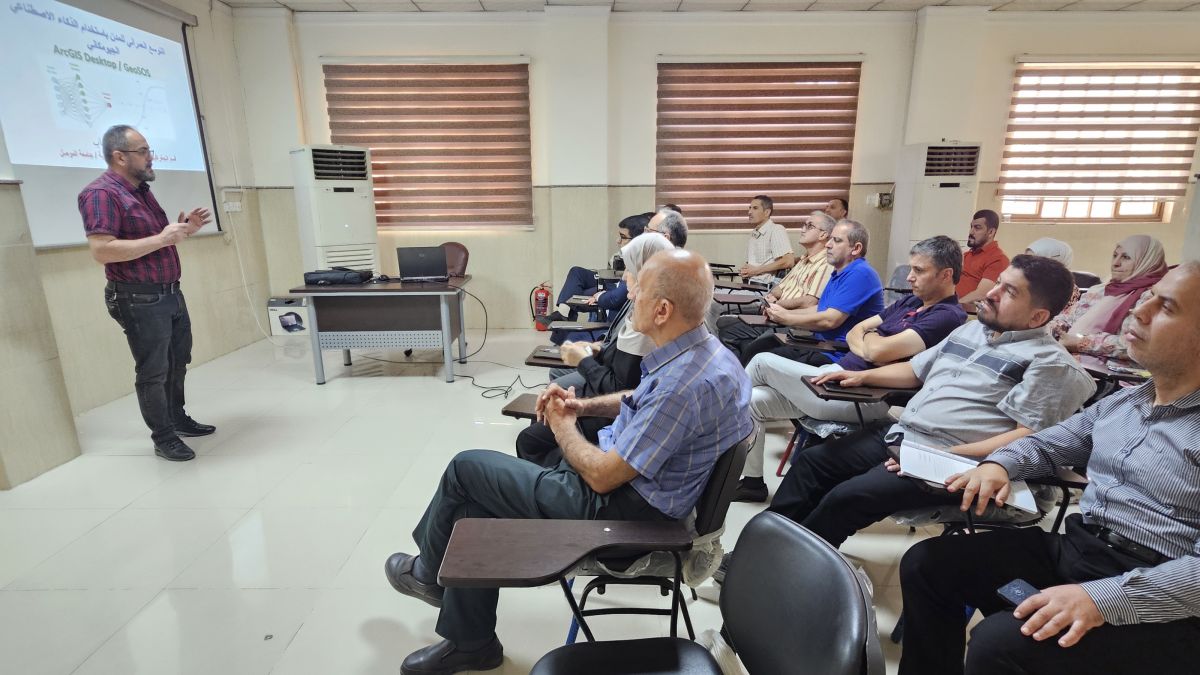
Under the patronage of the President of the University of Mosul, Prof. Dr. Waheed Mahmoud Al-Ibrahimi, and under the supervision of Assistant Professor Dr. Abdul-Rahman Ramzi Qabaa, Director of the Remote Sensing Center, the Remote Sensing Center held a scientific workshop entitled “The Landslide in Nepal: Causes and Impacts.”
The workshop was delivered by Assistant Professor Dr. Alaa Nabil Hamdoun, Head of the Disaster Risk Reduction Unit at the Center. It addressed the disaster involving landslides, debris flows, and floods that affected extensive areas of Nepal following the disaster that occurred in late August, causing significant damage to local communities, infrastructure, and areas along river systems in the northern and central parts of the country.
The workshop focused on examining the causes of the landslide and the sequence of events that led to its escalation into a large-scale disaster, in addition to assessing the damage and losses sustained by downstream areas.
According to preliminary scientific analyses, the disaster began with a sudden collapse involving a mass of rock and ice in the Langtang region near the Nepal–China border. The massive collapse displaced large quantities of ice, rocks, sediment, and water into a river channel, subsequently developing into a powerful debris flow and flood wave that extended toward downstream areas.
The workshop was held in alignment with Sustainable Development Goal 13 (Climate Action), which calls for urgent action to address climate change and its impacts, strengthen adaptive capacity, and support environmental policies that protect communities and natural ecosystems.