23 September، 2025
University of Mosul holds a Training Course for the Members of the Geological Survey Authority at the Ministry of Industry.

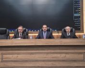
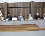
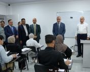
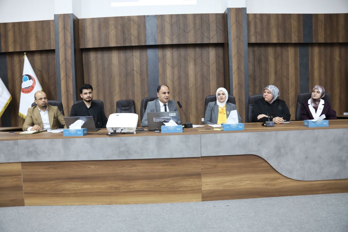
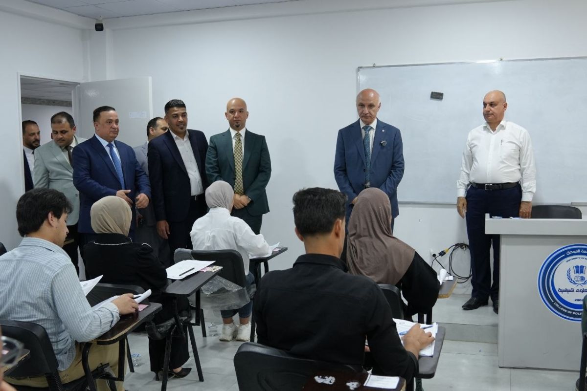
As part of scientific cooperation and continuous skills development, Remote Sensing Center at the University of Mosul organized a specialized training course for members of the Iraqi Geological Survey from September 21 to 25, 2025, with the attendance of Professor Dr. Abdul Raheem Ibrahim Jasim, the scientific Assistant for the University President and supervised by Dr. Abdulrahman Ramzi Qibeaa, Director of the Center.
The course included theoretical lectures and practical applications covering:
⦁ Geographic Information Systems (GIS) using ArcGIS software.
⦁ Projection systems and coordinate systems.
⦁ Training on creating and utilizing geographic databases for mapping.
⦁ The role of GIS software in geological survey operations.
⦁ Practical training on Global Mapper software.
⦁ The role of drones in field surveys and data analysis.
Additionally, the course included specialized lectures on the Global Positioning System (GPS) and linking spatial locations with satellite imagery as an advanced method and modern technology supporting geographic surveying.
The University of Mosul emphasizes that such scientific collaborations and training programs contribute to public service and strengthen the institutional and technical capabilities of employees, keeping pace with modern technological developments.