18 June، 2026
Remote Sensing and Spatial Mapping Technologies in the Service of Nineveh Governorate

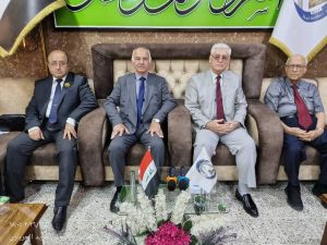
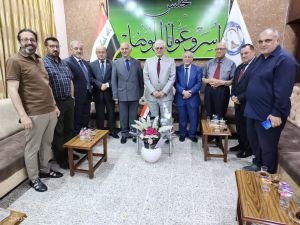
Professor Dr. Hikmat Subhi Al-Daghistani, an experienced academic at the Remote Sensing Center, delivered a scientific lecture organized by the Council of Mosul Families and Tribes on Wednesday, 10 June 2026. The lecture addressed the role of remote sensing technologies and Geographic Information Systems (GIS) in producing thematic maps and supporting comprehensive development plans in Nineveh Governorate.
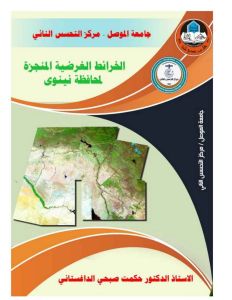
The lecture highlighted that the Remote Sensing Center at the University of Mosul has successfully produced the first series of thematic maps at the national level, which have become a spatial database for Nineveh Governorate.
The presentation reviewed the most prominent maps and projects developed by the Remote Sensing Center, including: the administrative, touristic, geomorphological, topographical, and geo-environmental maps of Nineveh Governorate; the master plan map of Mosul City; the comprehensive digital map of the University of Mosul; the aerial geomorphological mapping of the Eastern Al-Jazeera Irrigation Project and the Mosul Dam Basin in northwestern Iraq; the topographic survey project of the Ayn Al-Iraq city site; and the water harvesting project of Wadi Al-Tharthar.
The lecture also emphasized the importance of integrating thematic maps with GIS systems to support decision-makers and to develop feasibility studies for developmental projects.
The session was attended by a distinguished group of heads and representatives of Mosul families, as well as several university professors. The attendees actively engaged with the lecture, and the speaker responded to all questions in a concise and comprehensive manner.