28 June، 2025
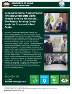
Geoenvironmental Assessment of Nineveh Governorate Using Remote Sensing Techniques… The Remote Sensing Center Hosts the Community Rush Center

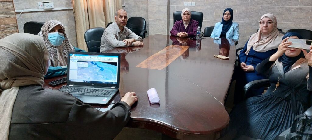
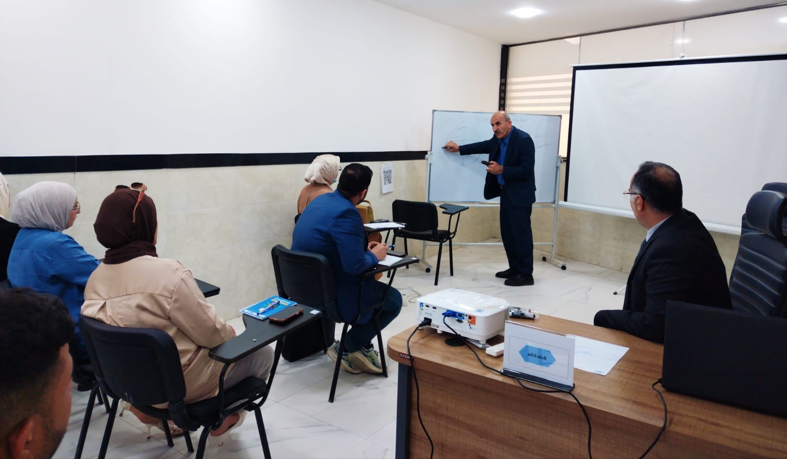
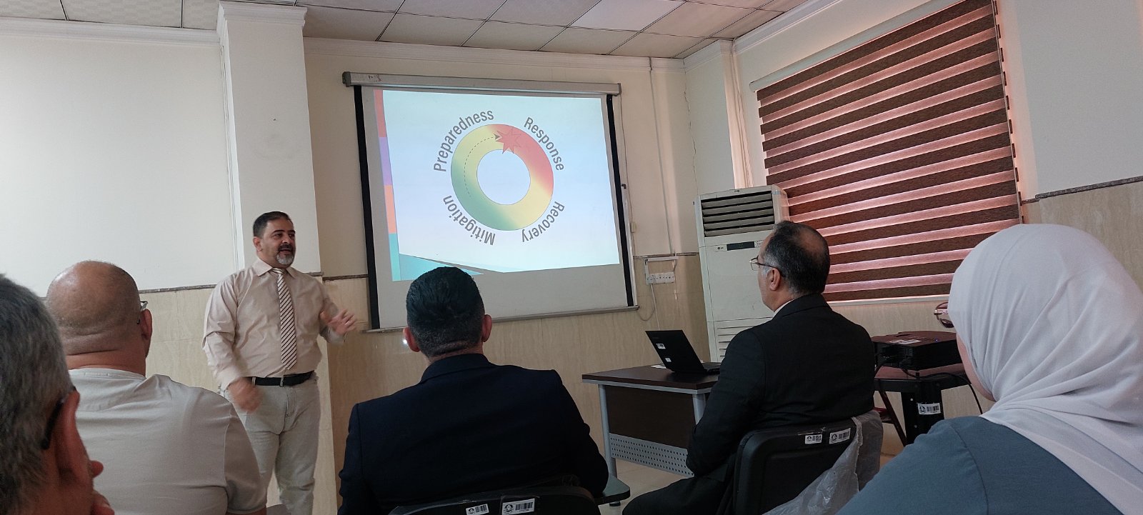
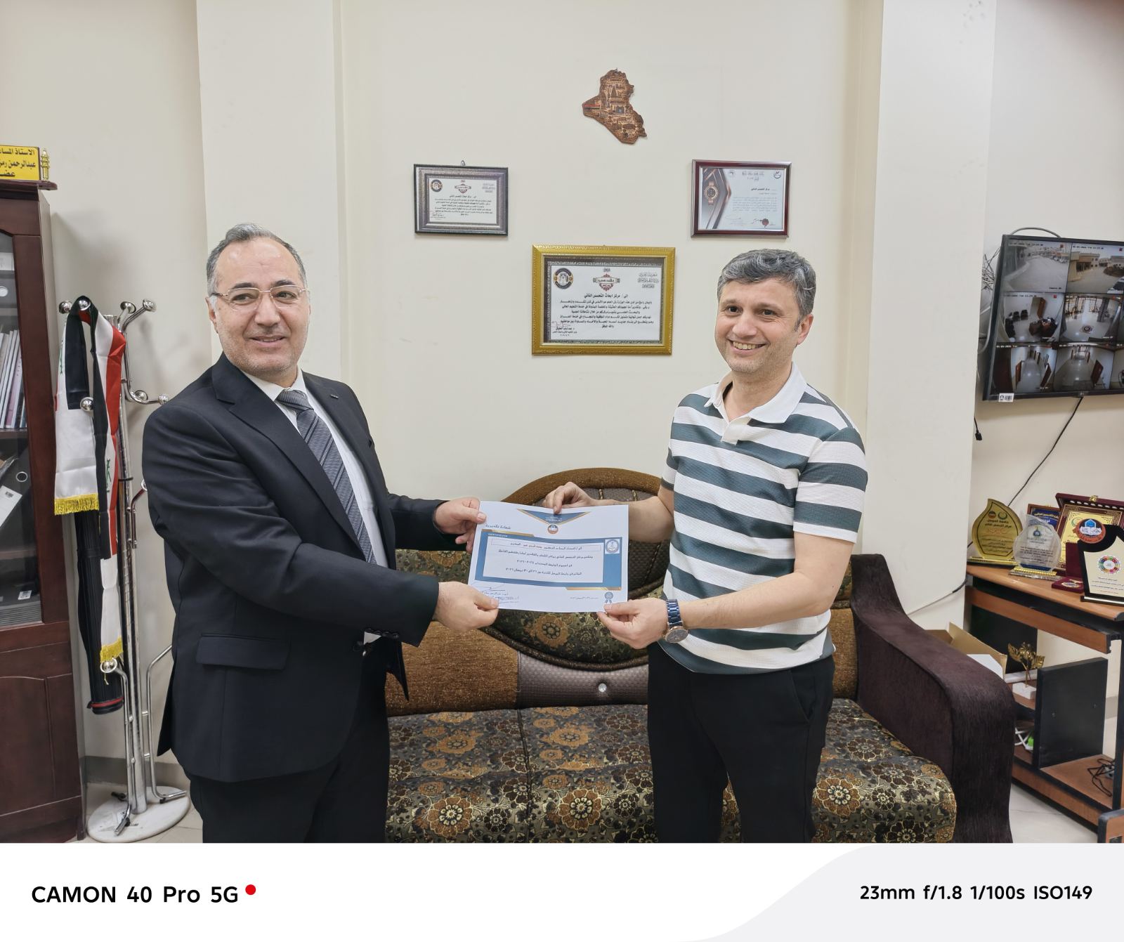
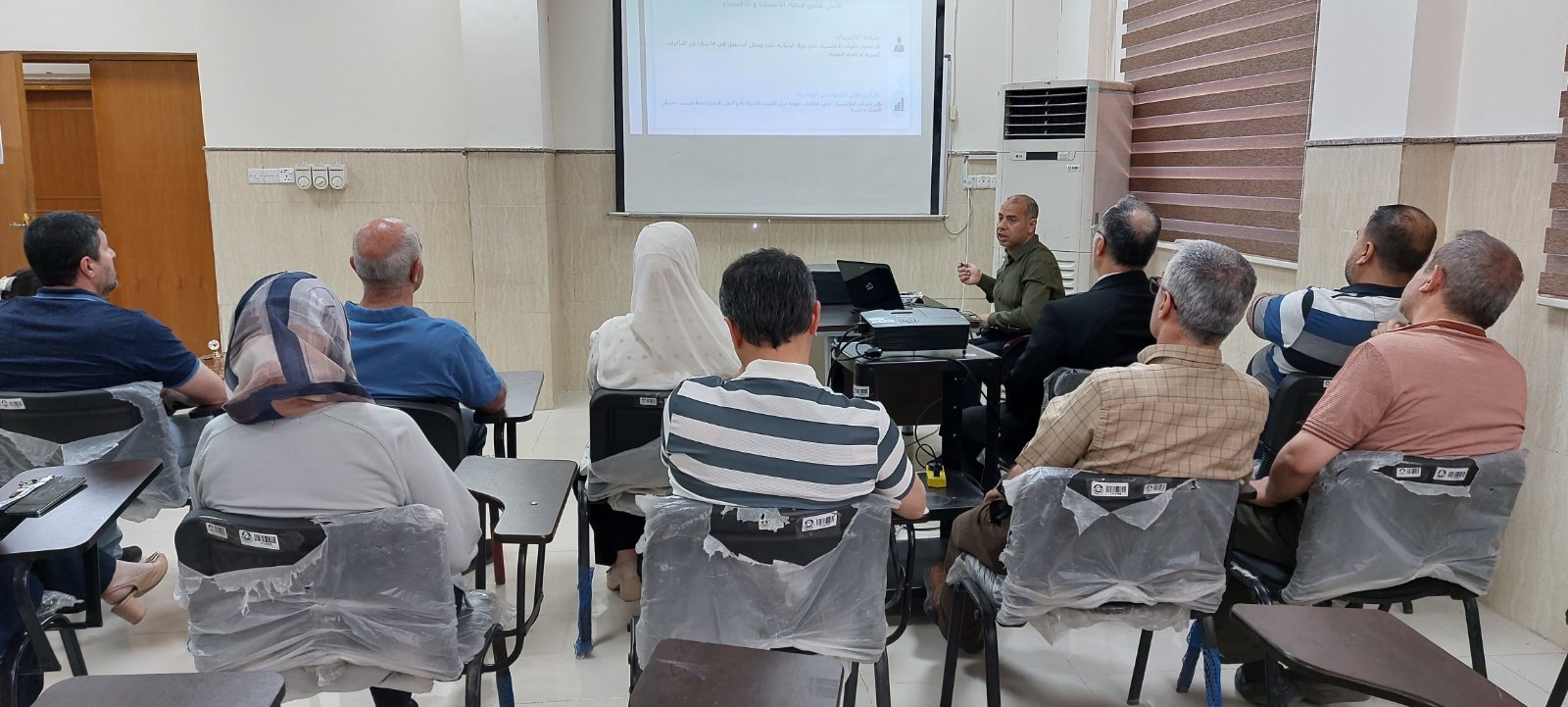
Within the framework of enhancing scientific and community cooperation, the Remote Sensing Center, represented by Associate Professor Dr. Hekmat Subhi Al-Daghestani, participated in a dialogue session held by the Community Rush Center for Consultations and Research on Monday, June 23, 2025. Dr. Hekmat delivered a scientific lecture entitled: “Geoenvironmental Assessment of Nineveh Governorate Using Remote Sensing Techniques.” He discussed the importance of organizing the governorate’s geoenvironmental map and updating it at most every ten years, and its role in monitoring the effects of desertification, environmental pollution, and radiation. The map was organized using remote sensing techniques and geographic information systems, serving the relevant Sustainable Development Goals: Goals 3, 6, 13, and 15. The session was attended by a number of academics, researchers, and administrative officials, and featured an extensive scientific discussion on the role of geoenvironmental data in supporting planning.