7 January، 2026
The training course on integrating remote sensing with GIS has begun.

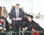
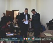
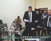
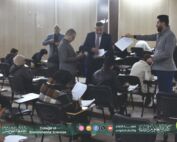
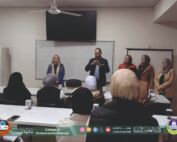
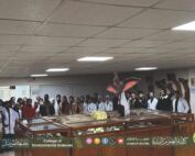
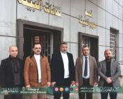
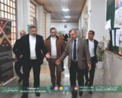
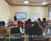
Under the patronage of Professor Dr. Waheed Mahmoud Al-Ibrahimi, President of the University of Mosul, and the supervision of Professor Dr. Muthanna Jassim Al-Tai, Dean of the College of Environmental Sciences, and with the follow-up and attendance of Dr. Ali Zain Al-Abidin Al-Azeer, Head of the Climate Change Department, and as part of the activities of the Continuing Education Unit to contribute to raising and developing the skills of staff in government departments, and in cooperation with the University of Mosul Presidency / Studies and Planning Division / Sustainable Development Unit, the training course entitled “Integrating Remote Sensing with Geographic Information Systems (GIS) in Hydrological Studies” commenced on Sunday, December 14, 2025, in the college’s discussion hall. The course will continue for five days until December 18, 2025.
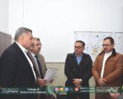
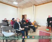
The first day of the course included a lecture delivered by Dr. Ali Zain Al-Abidin Al-Azeer entitled “Using the Google Earth Engine Platform in Hydrological Studies.”
The lecture included an introduction to the Google Earth Engine platform and how to register on it. It also provided an overview of the most important hydrological indicators, such as NDVI and NDWI, and how to calculate them using JavaScript code in the platform’s editor. The course also includes an introduction to the Start For IT website as a resource to support the development of technical and software skills related to remote sensing and water resources applications. The course targeted six of the Sustainable Development Goals (Goal 4, Goal 6, Goal 9, Goal 11, Goal 13, and Goal 17).
December 14 , 2025 University of Mosul / Sustainable University
Department of Media and Government Communication
#College_of_Environmental_Sciences