16 February، 2026
Launch of a Training Course on Remote Sensing and GIS Applications in Hydrological Studies
")
16 February، 2026
Launch of a Training Course on Remote Sensing and GIS Applications in Hydrological Studies
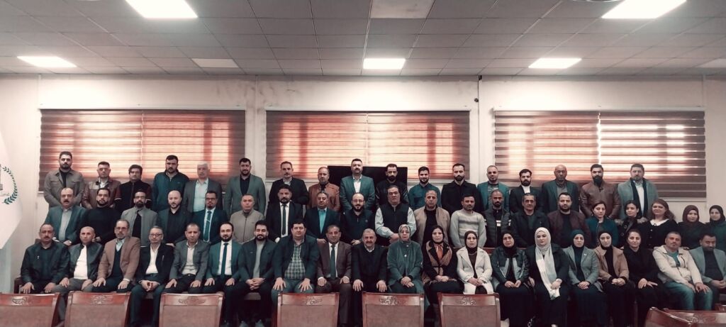
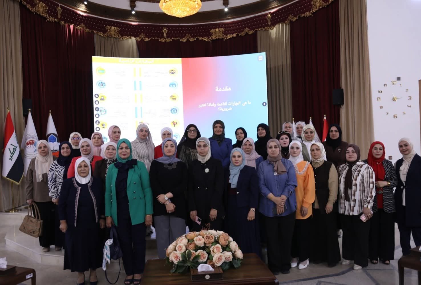
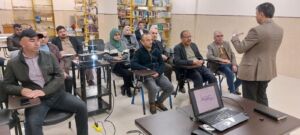
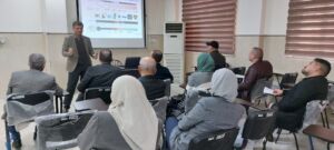
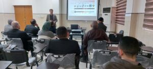
Under the patronage of University of Mosul President, Professor Dr. Wahid Mahmoud Al-Ibrahimi, and under the supervision of Assistant Professor Dr. Abdulrahman Ramzi Quba, Director of the Remote Sensing Center, and within the framework of Continuing Education activities, a specialized training course was launched on Sunday, 15 February 2025, entitled:
“Applications of Remote Sensing and Geographic Information Systems in Hydrological Studies.” The course extends for six days and brings together a number of researchers and engineers from various governmental departments across the governorate specializing in natural resources and hydrology.
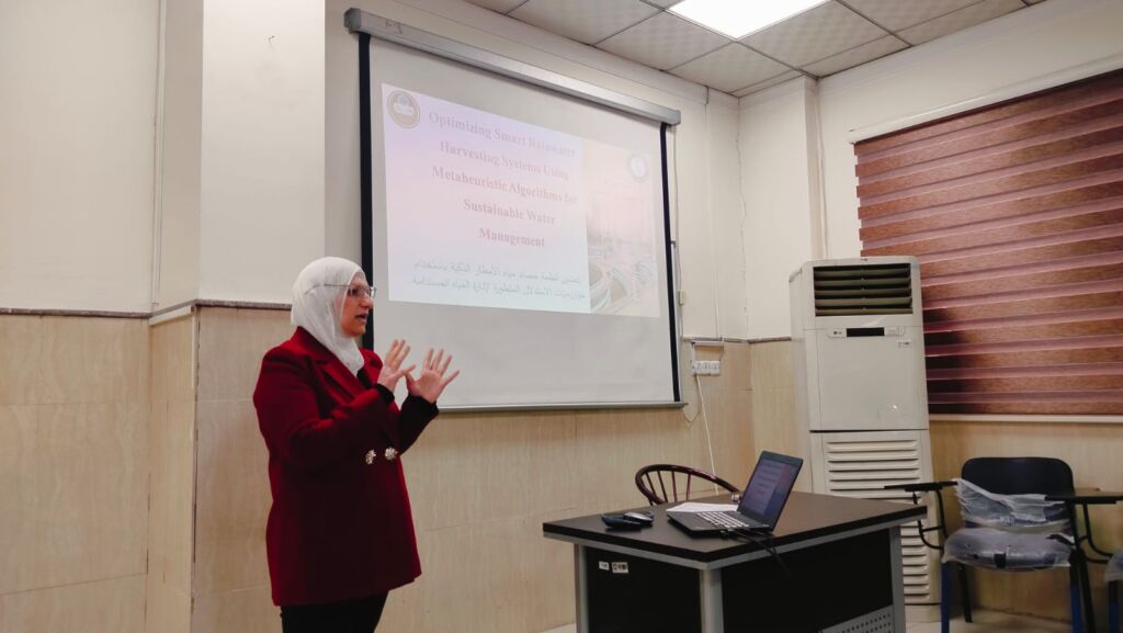
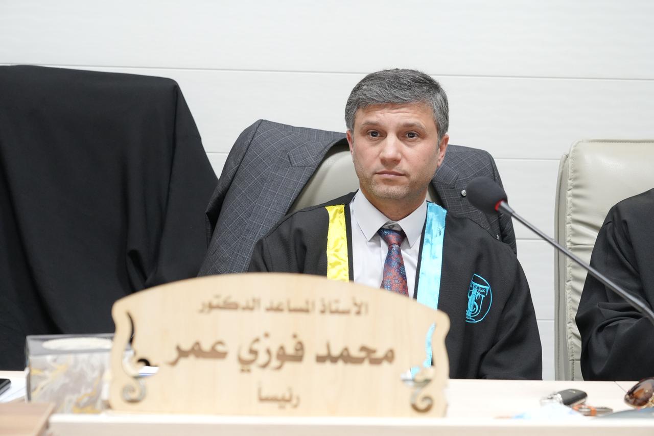
The first day featured a lecture delivered by Associate Professor Dr. Mohammed Fawzi Omar, Head of the Department of Natural Resources and Engineering Sciences at the Center. His lecture addressed the theoretical foundations underpinning the practical applications of remote sensing and GIS, with particular emphasis on their role in water resources assessment and management, as well as hydrological data analysis.
This course forms part of the Remote Sensing Center’s ongoing efforts to support continuing education pathways and to strengthen the technical competencies of state institution personnel in the field of remote sensing. It aligns with the objectives of the United Nations Sustainable Development Goals, particularly Goal 4 (Quality Education) and Goal 9 (Industry, Innovation and Infrastructure).


All Rights Reserved for University of Mosul © 2026