15 March، 2026
Remote Sensing Center Participates in the Discussion of Several Graduate Resear

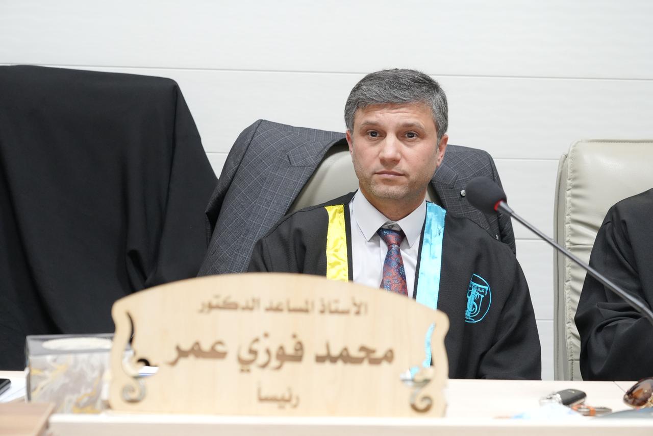
Within the framework of academic and scientific cooperation among Iraqi universities, Prof. Dr. Ryan Ghazi Thanoon, a faculty member at the Remote Sensing Center, participated in the membership of several thesis defense committees for graduate students.
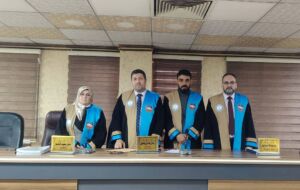
On March 8, he took part in the discussion of the Higher Diploma thesis submitted by the student Mohammed Sharif, entitled “Detection of Slope Stability Using Geographic Information Systems: Shaqlawa District as a Case Study.”
He also participated on March 10 in the Engineering Technical College in Kirkuk, affiliated with the Northern Technical University, in the discussion of the Master’s thesis presented by the student Zainab Nabil Abbas, entitled “Image Analysis Based on Geographic Data Using LiDAR to Identify Landslides in the Taq Taq Area.”
The discussions focused on employing modern techniques in the fields of Geographic Information Systems (GIS), Remote Sensing, and LiDAR data analysis to detect slope stability and identify landslide hazards. These contributions highlight the significant role of the Remote Sensing Center in supporting applied geological studies and providing specialized expertise to academic institutions in the analysis and assessment of natural hazards.