19 May، 2026
University of Mosul Remote Sensing Center Organizes Specialized Training Course at Nineveh Governorate Office
")
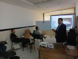
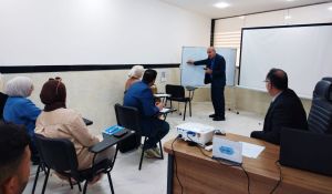
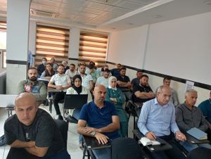
The Remote Sensing Center at University of Mosul organized a specialized training course at the Nineveh Governorate Office / Skills Development Department during the period from 10–17 May 2026. The course was delivered by a team of researchers from the Center, with the participation of staff members from various governmental departments across the governorate, aiming to enhance technical capacities in the fields of Geographic Information Systems (GIS) and Remote Sensing technologies.
The training program included both theoretical and practical lectures addressing the significance of remote sensing data as a major source of information in GIS applications. The course also covered georeferencing, map projections, and geodetic systems used in the preparation of maps for development and reconstruction projects. In addition, participants received practical training on the use of ArcGIS Pro software and the creation of project-oriented geospatial databases.
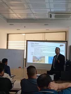
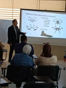
Furthermore, the course featured a lecture on Unmanned Aerial Vehicles (UAVs), focusing on their types and their importance in aerial surveying operations, as well as their role in acquiring high spatial resolution data and analyzing it within GIS environments.
At the conclusion of the course, the participants were awarded certificates of participation and provided with the relevant software files and training materials to serve as reference resources supporting the future development of their specialized skills.
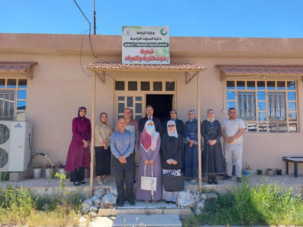 Remote Sensing Center Conducts a Scientific Field Visit to the Soil and Water Division / Agricultural Research Department in Nineveh
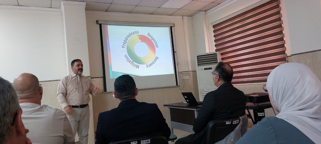 "Disaster Risk Reduction: Concept and Application" — A New Scientific Workshop Organized by the Remote Sensing Center in Cooperation with the Joint Coordination and Monitoring Center (JCMC)