22 February، 2026
Conclusion of a Training Course on Applications of Remote Sensing and GIS in Hydrological Studies

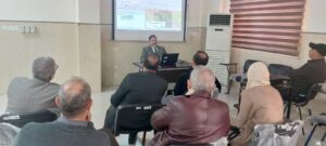
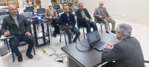
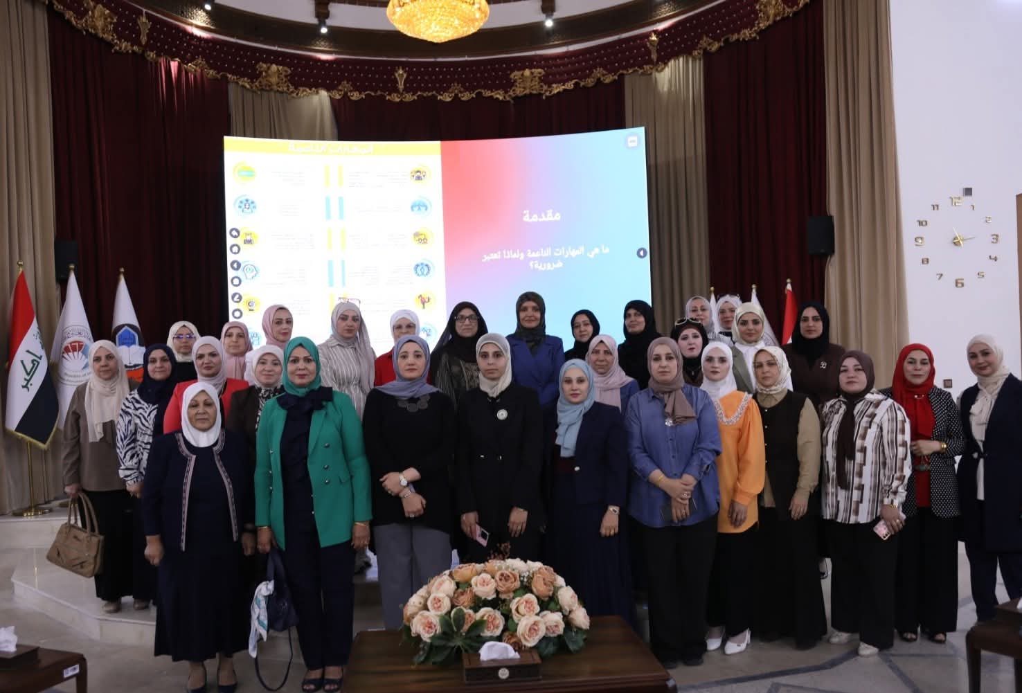
Within the framework of the Continuing Education Program, the Remote Sensing Center concluded on Thursday, 19 February 2026, a training course entitled “Applications of Remote Sensing and Geographic Information Systems in Hydrological Studies.” The course was attended by a number of academics, researchers, and specialists in the field of water resources, in addition to staff members from the Nineveh Horticulture Station Directorate.
The course was delivered by Prof. Dr. Riyan Ghazi Thnoon, Asst. Prof. Dr. Mohammed Fawzi Omar, Asst. Prof. Dr. Alaa Nabil Hamdoon, and Dr. Akram Mohammed Salih Hamdoon. The lectures covered the theoretical foundations of remote sensing and the principles of Geographic Information Systems (GIS), along with their key applications in watershed analysis, surface runoff estimation, and the preparation of thematic maps supporting hydrological studies.
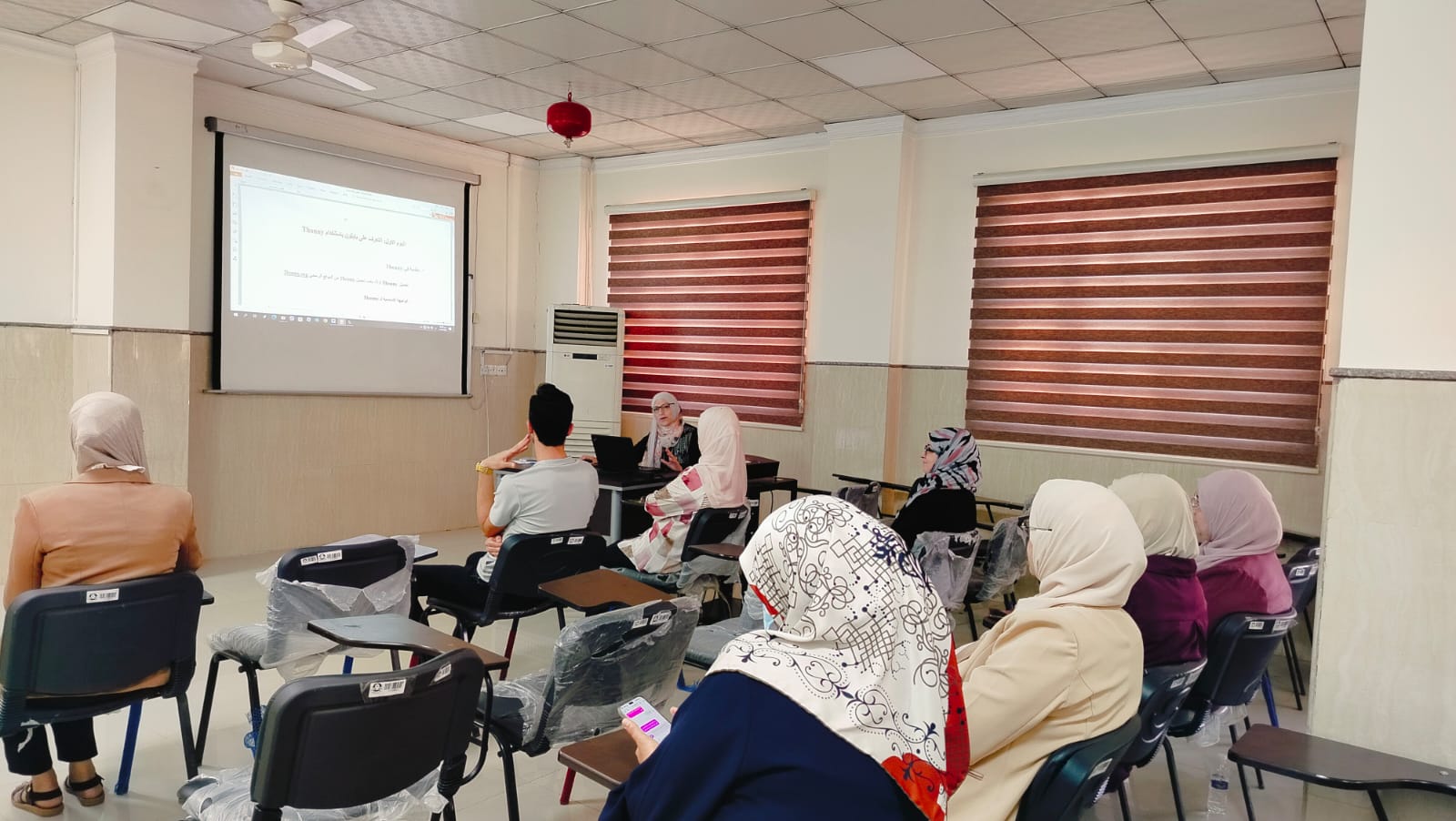
The program also included practical sessions using specialized software for satellite image processing and spatial data analysis, aiming to enhance participants’ skills in applying modern technologies to water resources management in alignment with the Sustainable Development Goals, particularly Goal 6 on clean water and sanitation.
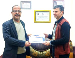
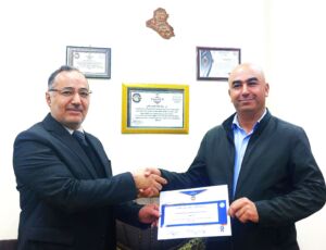
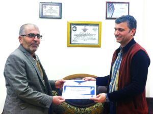
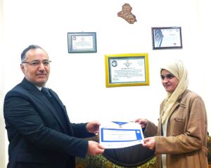
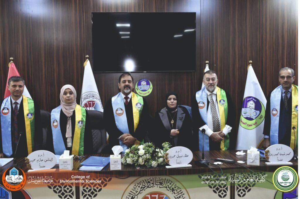
At the conclusion of the course, certificates of participation were awarded to the trainees following the final assessment. Participants expressed their appreciation to the instructors and highlighted the significant benefit gained from the course.