21 June، 2022
Higher Diploma Research on “Selecting Sites Of Water Harvesting Dams In Nainawa Gov. Using QGIS Program”

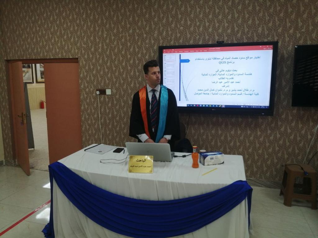
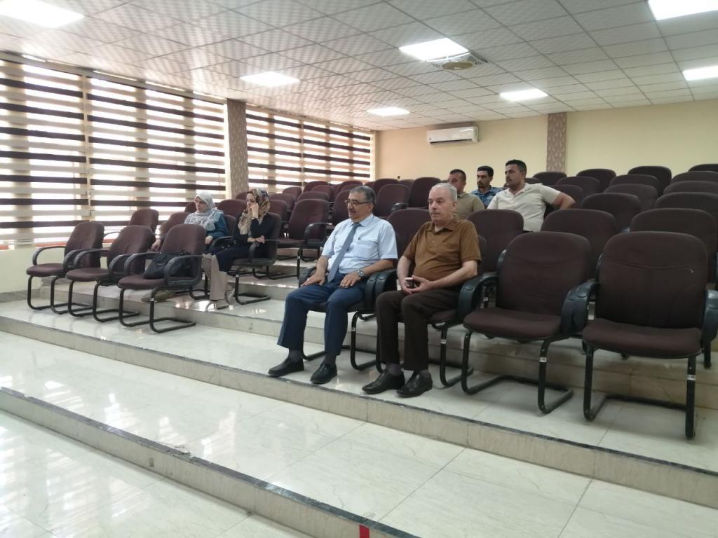
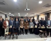
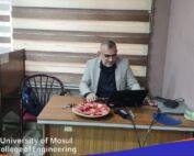
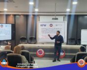
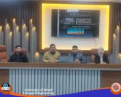
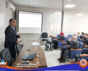
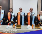
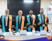
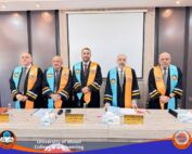
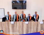
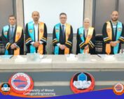
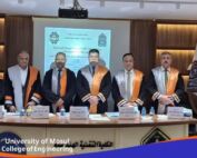
A Higher Diploma Research was discussed in Department of Dams and Water Resources Engineering / College of Engineering at University of Mosul entitled “Selecting Sites Of Water Harvesting Dams In Nainawa Gov. Using QGIS Program” submitted by (Ahmed Abdul Amir), Supervised By(Dr. Talal Ahmed Basheer and Dr. Nashwan Kamal Eldin)on Sunday, June 19, 2022.The QGIS program was used in the research and it is one of the remote sensing techniques through which it is possible to study the topography of the land and analyze the results to know the variation of heights and depressions for the study area and to know the locations of the falling water gathering and its flow and to calculate its quantity. The digital elevation models (DEM), was included in the form of a layer in the program. The study area was divided into a network of squares representing 8 km x 8 km per square. Each square was studied and analyzed separately to facilitate the application in the program by finding the watersheds and their area for each square and the direction of flow.All the results of the study area (Appendix A) were obtained, and common watersheds were found between the squares that could be of large areas. The maximum storage volume for these catchments was found. The volume of the reservoirs and the area of the lake behind the dam were calculated at each height of the dam height and the relationship between the height of the dam was drawn. The dam, the size of the reservoir, and the relationship between the height of the dam and the area of the lake behind the dam.