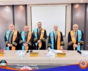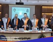
1 February، 2023
Master Thesis on “Selecting the best railway Route from the city of Mosul to the fishkhabur area using GIS techniques”

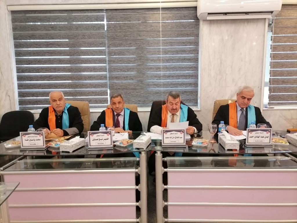
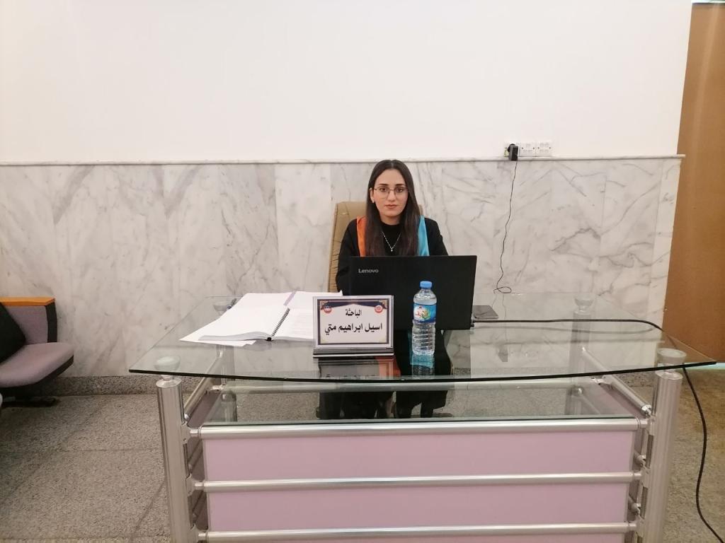
A Master thesis was discussed in Department of Civil Engineering / College of Engineering at University of Mosul entitled “Selecting the best railway Route from the city of Mosul to the fishkhabur area using GIS techniques” submitted by (Aseel Ibrahim Matti Shaba), Supervised ByProf. Dr. Ayman Abdulhadi Abdulmawjoud On Wednesday, Feb. 01, 2023.The thesis presented the selection of the railway route between the city of Mosul and the Fishkhabur region on the Iraqi-Syrian-Turkish borders through the application of the Analytical Hierarchy Process (AHP) by applying the Expert System Program for the Analytical Hierarchy Process (EXPERT CHOICE) and using the Geographic Information Systems (GIS) program to perform spatial analysis and employ Civil3D to compare paths and find the best path.In this study, a set of spatial criteria were determined that could affect the process of choosing the optimal path, these criteria included the ground slope, water sources, irrigation canals, infrastructure services routes, land use, environmental impact, and soil bearing strength. The weights of the criteria were determined by conducting a questionnaire for a group of decision makers, specialists, and planners. The hierarchical analysis technique (AHP) developed by (Saaty) was used using the pairwise comparison method between the criteria. This method was chosen for its ease and accuracy, and the presence of a specialized computer program to do the mathematical calculations, integrating the weights of all forms, and extracting the final weight for choosing the path.The study showed that the highest relative importance was for the water resources criterion (29.7%) at a consensus rate of (57%), followed by the land slope criterion (21.3%) at a consensus (49%) and the lowest relative importance for the environmental impact criterion was by (6.9%) when A consensus rate of (53%) Two models for spatial analysis was prepared using the GIS program, the first model is the process of creating an appropriate model, and the second model is the formation of a cost layer. Then the taboos are deducted according to the appropriateness model and the use of the resulting layer in the process of finding the best route. This study shows that GIS is an indispensable and effective tool in use in choosing a railway track. The process of comparison was made between the three proposals obtained from the Iraqi General Company for Railways and the track The result of the analysis process by calculating the quantities of excavation and backfilling within the Civil 3D environment, whose quantities were less for the ideal path, where the percentage of the amount of drilling for the ideal path was 598,434.27 m3, which represents a percentage of 19.982%, 52.969% and 24.555% of the first, second and third tracks, respectively. As for the backfilling quantities, they amounted to 541,687 m3, which constitute 61.487%, 51.881%, and 52.282% of the first, second, and third tracks, respectively. The intersection with irrigation channels and valleys was calculated and the lengths of the paths were compared to find the best path.