9 April، 2026
Integration of Artificial Intelligence with Satellite Data to Achieve Sustainable Development Goals… A Symposium at the Remote Sensing Center

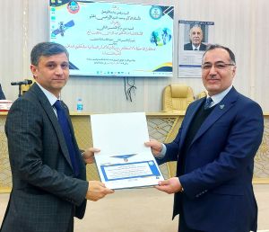
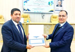
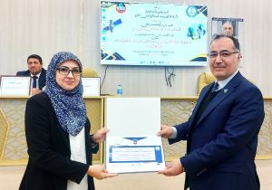
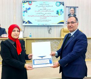
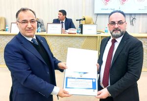
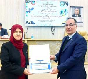
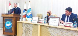
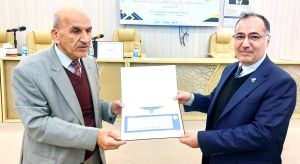
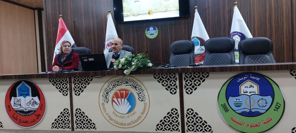
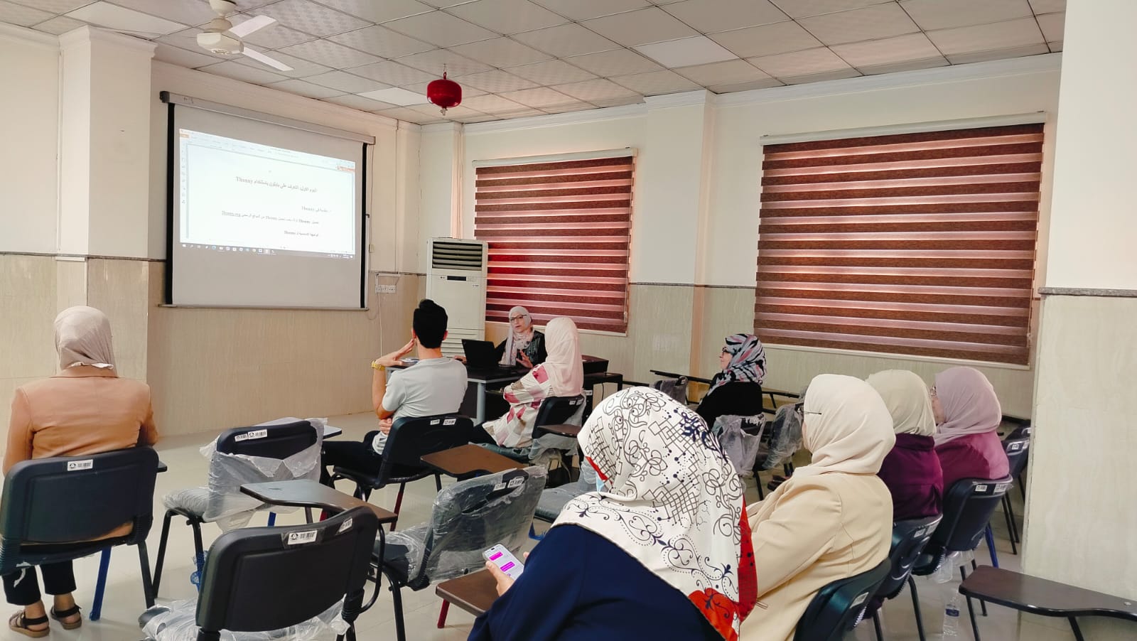
Under the patronage of the President of the University of Mosul, Professor Dr. Waheed Mahmoud Ibrahim, and under the supervision of the Director of the Remote Sensing Center, Assistant Professor Dr. Abdul Rahman Ramzi Qubba, the Remote Sensing Center held its 25th scientific symposium entitled “Integration of Artificial Intelligence with Satellite Data to Achieve Sustainable Development Goals” on Wednesday, April 8, 2026.
The symposium featured a comprehensive scientific program that began with an opening speech delivered by the Director of the Center, followed by a lecture on predicting urban expansion using artificial intelligence, highlighting AI applications in urban studies and predictive analysis.
The symposium also included a series of specialized scientific lectures focusing on the application of artificial intelligence in various environmental and developmental fields. These included soil classification using deep learning to support sustainable agriculture, the development of tools for extracting water bodies from satellite imagery to enhance water resource management, the use of AI in climate forecasting and environmental sustainability, and the role of Vehicular Ad-Hoc Networks (VANETs) in supporting sustainable urban transportation systems.
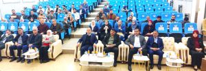
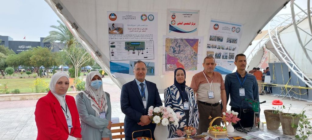
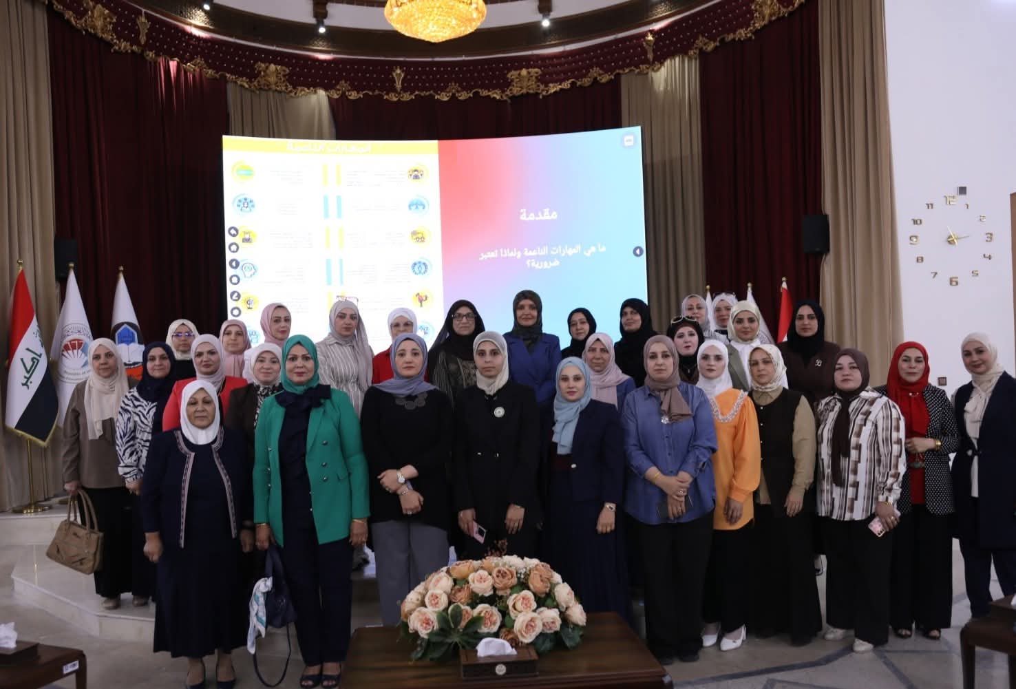
The event witnessed distinguished attendance from directors of research centers, as well as representatives from the Nineveh Sewerage Directorate, Nineveh Agriculture Directorate, Nineveh Environment Directorate, and the Northern Region Meteorological Authority, in addition to faculty members and postgraduate students. The symposium featured productive scientific discussions emphasizing the importance of integrating artificial intelligence with remote sensing data to address environmental, urban, and economic challenges.
At the conclusion of the symposium, participants issued several recommendations, أبرزها emphasizing the importance of adopting artificial intelligence as a key tool in analyzing satellite data and monitoring environmental and climate changes. Such technologies enable faster extraction of indicators, support early warning systems, and improve predictive capabilities, thereby facilitating timely responses to mitigate potential damages and effectively manage emerging environmental challenges before they escalate.